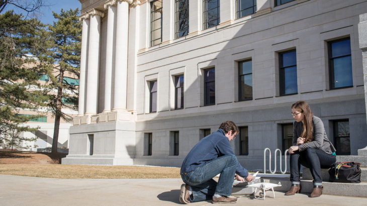
A graduate student trio from three disciplines is collaborating to develop a high-resolution, low-cost spectral imaging drone to measure urban impact on water resources.
“Urban influences play a huge role in water quality,” said Carly Hansen, a civil engineer about to deliver her dissertation on Utah’s water quality.
Hansen met Casey Duncan (a geology student) and Sam Chesebrough (a robotics and mechanical engineering student) at the 2017 Global Change and Sustainability Center (GCSC) Symposium. Their radio-controlled, foam-and-glue plane prompted Hansen to apply for a small GCSC research grant to cover the cost of a drone, Raspberry Pi computers and cameras. Duncan and Chesebrough’s original plane was designed for mapping minerals, but Hansen saw potential for tracking algal blooms and water quality.
The challenge of building a low-cost alternative has fostered collaboration, Duncan said. Hansen had the idea for a water quality application, Duncan designed hardware and drone modifications, and Chesebrough configured cameras and computers.
“With satellites, getting imagery data is like getting a letter,” said Chesebrough. “With the drone, it’s like getting Tweets.” They hope their work will make this technology feasible for researchers constrained by tight budgets.
More articles like this in ‘Student Innovation @ the U!’
Find this article and a lot more in the 2018 “Student Innovation @ the U” report. The publication is presented by the Lassonde Entrepreneur Institute to celebrate student innovators, change-makers and entrepreneurs.


